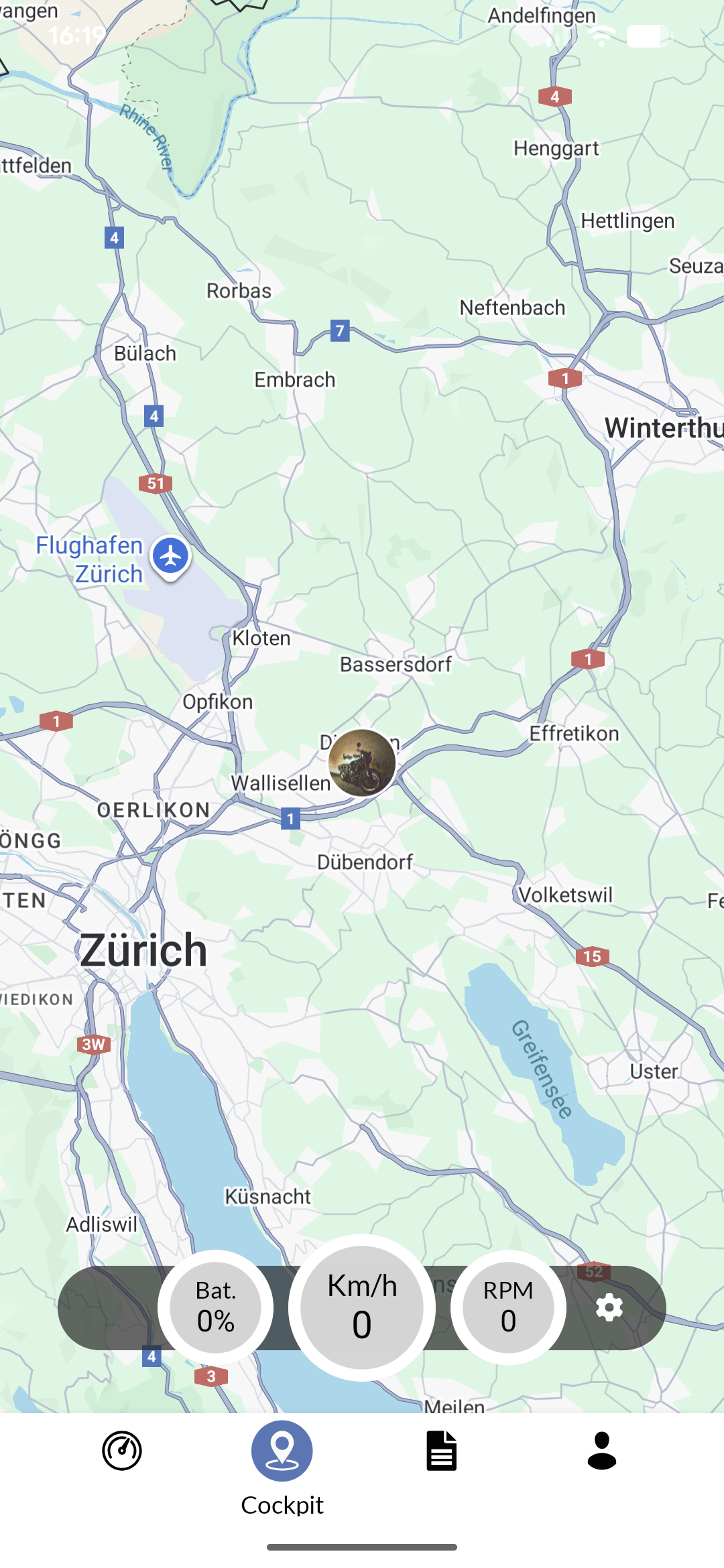
The cockpit provides a real-time monitoring interface that displays your vehicle’s current position, status, and performance data on an interactive map. This feature serves as your primary navigation and monitoring tool during active journeys. You can access the cockpit through the main navigation of the Private App. Mobile app showing vehicle cockpit interface with real-time data and controls

Overlays and settings

The cockpit offers various data overlays that provide real-time information about your vehicle’s performance and status. These overlays can be cycled through by tapping on the “switch overlay” button . Similarly, you can use to access cockpit settings, where you can customize display preferences, map options, and trip recording settings. Depending on your app, vehicle type, and subscription, you might have different overlays and map styless available. Click on the gauges to change their units. Globally, units can be changed in the profile settings. If your vehicle supports this, a range indicator is shown as a circle around your current position.
Range estimation depends on many factors such as local conditions, weather, terrain, and your driving style. Use it as a general guide rather than a precise prediction.
For marine applications, additional safety features such as shore zones and shallow water warnings may be available depending on your location and vehicle configuration.
Safety features depend on your vehicle type and configuration, and may not always be correct. Always prioritize safe navigation practices and local regulations.

Trip recording

As soon as you embark on a journey with your vehicle, the cockpit automatically starts recording your trip. An additional box with information about your current trip appears at the bottom of the screen. This box shows the elapsed time, distance traveled, and average speed for your current trip. The trip itself is shown as a line on the map, allowing you to visualize your route in real-time. When you make a short stop, previous recordings are shown as a faded line, while the current leg of your trip is highlighted. When you make a long stop, the current trip is automatically ended, and a new trip will be started when you resume your journey. You can find completed trips in the logbook.

Issue indicators

If any issues arise, you will see indicators on the top right of the screen. These indicators provide information about the connection status of your IoT device, server connectivity, and Bluetooth status (if applicable). If you feel the interface is updating slowly, try to lower the update frequency in the cockpit settings.

Points of interest

The cockpit provides access to various points of interest (POIs) relevant to your journey. These vary based on your vehicle type and configuration, but always include POIs you record yourself (via “Drop POI” in the dashboard).
I